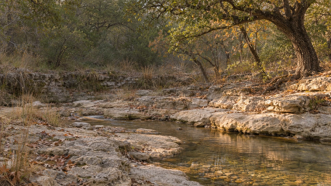
Where Barton Creek Still Has Water This November
November 19, 2026
November 19, 2026
At about 5 a.m. on Monday, June 15, the gauge on Barton Creek near Loop 360 read 6.06 feet of water and 1,220 cubic feet per second of flow, KXAN reported. Two days later, Twin Falls was full again for the first time in years. KXAN described the waterfall as "closer to a rapid," with families swimming below it.
On the evening of November 12, the same gauge read zero.
Most of the water at the June peak didn't stay in the creek. Barton Creek crosses the Edwards Aquifer recharge zone, and in a dry year that crossing takes the water. By mid-November the creek still trickles upstream, near the Lost Creek and Barton Creek neighborhoods, and stops by the time it reaches Loop 360. Here's what the gauges showed on the evening of November 12, upstream to downstream, from the LCRA Hydromet report of USGS data:
| Gauge location | Flow, Nov. 12, 2026 |
|---|---|
| Barton Creek at SH 71 near Oak Hill | 2 cfs |
| Barton Creek at Lost Creek Blvd. | 4 cfs |
| Barton Creek at Loop 360 | 0 cfs |
| Barton Creek above Barton Springs | 0 cfs |
| Barton Springs | 21 cfs |
These are provisional, automatically collected readings and can be revised. The creek runs at Lost Creek Boulevard and is gone by Loop 360. Below that, the springs flow out of the aquifer itself.
The June flood capped an unusually wet spring. The Barton Springs/Edwards Aquifer Conservation District recorded 4.9 inches of rain in April, 6.3 in May and 6.1 in June, three straight above-average months after eight straight below-average ones. The district says the 3 to 4 inches that fell on June 15 "generated significant flow in creeks crossing the recharge zone, allowing additional recharge to the aquifer."
That recharge reached Barton Springs quickly. Its flow rose from 24 cfs on June 14 to 62 cfs on June 16. On July 3, the district's Lovelady monitor well moved out of Stage 3 range and into Stage 2. For a short time, both of the district's drought indicators were above their Stage 3 thresholds.
The district kept its Stage 3 Exceptional Drought declaration anyway. In its July update, it gave this reason:
"While these gains are certainly encouraging, they remain fragile. Barton Springs flow has already begun to recede, and water levels at the Lovelady monitor well appear to have peaked."
A drought stage can deepen when either indicator crosses its threshold. Moving to a lighter stage requires both to recover. The Stage 3 declaration took effect October 1, 2025, and is still in place.
July helped a little. Rain averaged 3.5 inches, about 1.5 inches above normal. Even so, January through July totaled 23.4 inches, about 65% of the 36-inch historical annual average.
September was much drier. Camp Mabry recorded 0.47 inches and Austin-Bergstrom International Airport 0.08 inches. The two stations averaged about 0.3 inches, roughly 2.4 inches below normal, which made it the 14th driest September on record. Barton Springs had fallen to a 10-day average of 15 cfs by October 8.
October brought more rain but little recharge. Camp Mabry recorded 3.1 inches and the airport 2.1, an average of about 2.6 inches, roughly 1.5 inches below the October norm. October was also warm, averaging 74°F, 2.4°F above normal. In its October drought update, published November 5, the district said dry soils "likely absorbed much of the early-October rainfall, limiting recharge to the aquifer." It added that the rain later in the month appears to have kept springflow steady. Barton Springs was still at a 15 cfs 10-day average on November 5.
The same update puts this year in context. As of November 5, the region was about 9 inches below its year-to-date rainfall average and 26 inches short over the past three years. Even a flood as big as June's couldn't make up that deficit.
The USGS gauges don't measure the swimming holes directly, and the City of Austin says its Parks and Recreation Department doesn't track Greenbelt water levels. The city sends visitors to USGS and LCRA instead. ATX Things publishes estimates for each swimming hole, calculated from nearby gauges. On the evening of November 12, it listed:
The site labels all four figures as estimates. They can show a little movement at Twin Falls even when the official Loop 360 reading is zero. Sculpture Falls ranks first on the site's list for water, but it also takes a steeper hike to reach. Twin Falls is an easier walk in from the Loop 360 trailhead.
The trails stay open while the creek is low. The City of Austin's facilities closure page listed the Barton Creek Greenbelt as open in its October 27 update. The city lists the Loop 360 entrance, Gaines Park off MoPac for Twin Falls, and Trail's End at Camp Craft Road for the Hill of Life among the main access points. The Trail's End and Loop 360 entrances are the nearest to homes in the Barton Creek area.
Hikers who keep going past the Greenbelt can pick up the Violet Crown Trail, which runs 13 miles from Zilker Park to the Lady Bird Johnson Wildflower Center. Hill Country Conservancy is still building it toward a planned 30 miles. Wild Basin, at 805 N. Capital of Texas Hwy., is open for hiking every day. Weekend and federal-holiday visits need a reservation and a fee, and weekday visits don't.
Several volunteer days and guided walks are scheduled on and near the trail system between now and early January. Most of them happen on dry ground.
The Lost Creek Boulevard gauge is the best early sign that the stretch near home is running again. When it climbs well above 4 cfs and the Loop 360 reading moves off zero, rain has gotten past the dry soils. You can check the Loop 360 reading on its USGS monitoring page.
The longer-term number is Barton Springs. The conservation district says it may declare Stage 4 Emergency Response if springflow falls to 10 cfs or below. As of November 5, the 10-day average was 15 cfs. The Lovelady well stood at 455.3 feet above mean sea level, 1.9 feet above its own Stage 4 threshold of 453.4 feet. The district notes that gauge readings below 20 cfs can be thrown off by pool operations at Barton Springs, so its manual measurements are the more reliable figures at low flow. According to the district, the aquifer won't recover without sustained, widespread rain over the recharge zone. Until that rain arrives, the water near the Barton Creek neighborhood will stay in the upstream reaches and the plunge pools.
The creek, its trails and its seasons are part of what a home in Barton Creek offers, and they belong in any honest conversation about owning there. If you're weighing a property near the Greenbelt and want a clear, financially grounded view of it, Jeannie Garr Roddy would be glad to walk through it with you. Schedule a Consultation when the timing suits you.
Stay up to date on the latest real estate trends.
With specialties in unique homes and estates, equestrian properties, and high-end condos and land, she works hard to make sure that every client is satisfied with their residential home sale.